Tag Archives: navigation
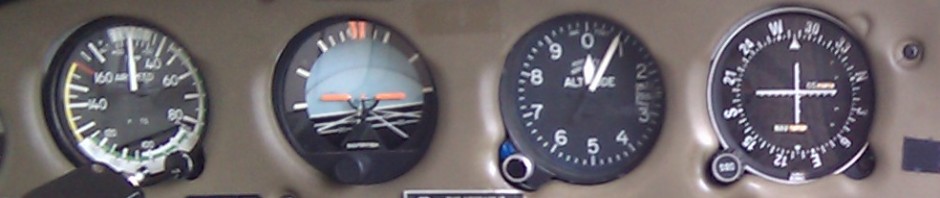
Why checkpoints matter
Let’s say that you’re going on a 300 nm (550 km) flight — a typical distance for a cross-country trip in a small plane — VFR, without radar coverage. You file a flight plan, take off on time, but don’t … Continue reading →
OurAirports: terrain view
A couple of months ago, Google Maps quietly added a Terrain layer to their maps. I’ve enabled that in OurAirports now, so that you can get at least a rough idea of the terrain around an airport (or in a … Continue reading →
Data wants to be free
I’ve finally gotten around to adding free data downloads to OurAirports. You can now download nightly CSV-formatted data dumps of all the airports, countries, and regions in OurAirports at http://www.ourairports.com/data/ These will open with most spreadsheet and database programs (make … Continue reading →
Make a web map of the airports you've visited
I’ve written a web site called OurAirports that lets you make a map of the airports you’ve visited (either as a pilot or as a passenger, your choice). Here’s my personal map — note that you can share your maps … Continue reading →
North up or track up?
I was reading through an article on pilotage [Wikipedia] in the December AOPA Pilot. In general, I found the article enjoyable, but one thing stuck out like a wart — the author’s assumption that people should always read a chart … Continue reading →
Canadian airspace disappears overnight! (casualties of the DAFIF)
[Update 2006-11-20: it looks like they’ve pulled even the small amount of Canadian data that they can get from the FAA database — there’s nothing but US airports and navaids in there now.] Well, the DAFIF — the free database … Continue reading →
Soo trip notes
I flew from Ottawa to Sault Ste. Marie yesterday, then flew a Hope Air patient from the Soo to Kingston this morning, before making the short hop back to Ottawa in the afternoon. Westbound Flying westbound to the Soo is … Continue reading →
3D airnav data: Google Earth/DAFIF mashup
Google Earth is a 3D geographical visualization program available for Windows, MacOS X, and Linux. DAFIF is a free (soon-to-be-closed) database of major airports, airways, airspace, etc. around the world. Now, the Russian Academy of Science has created a mashup … Continue reading →
The future of radio navigation in the U.S.
The U.S. government has released its 2005 Federal Radionavigation Plan [PDF, 74 pages]. Here is what they are proposing for each type of aviation-related navigation aid: GPS Will be the primary federally-provided radionavigation system for the foreseeable future. Will continue … Continue reading →
Web site: Runway Finder
Thanks to a posting by Paul Tomblin, I just discovered a new aviation Google-maps mashup. Normally, Google maps lets you switch among a map view, a satellite photo, and a satellite photo with map info superimposed (called a hybrid view). … Continue reading →
